+(1)859-327-8940 for inquiries about services.
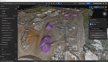
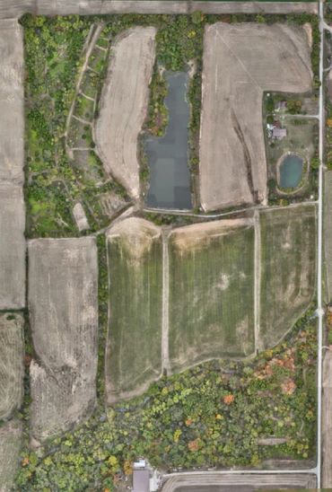
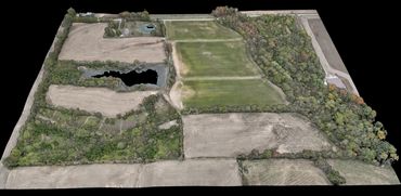
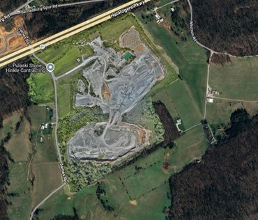
Transforming construction management and land development with innovative drone solutions: including 3D modeling, ortho-mosaics, point clouds, and other products.
Aerial Data Capture: Innovative Drone Solutions for Central & Eastern Kentucky
Transforming construction management and land development with innovative drone solutions: including 3D modeling, ortho-mosaics, point clouds, and other products.